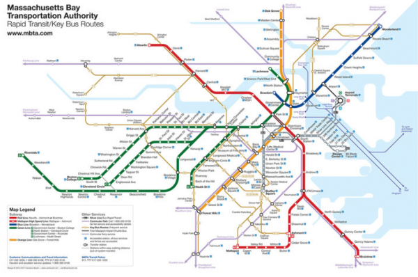
We’ve all used them. And if they are made well they really make life easier: Transit Maps.
Apart from using transit map art style to visualize a train line transit maps can be applied to a lot of data visualization needs.
Take time to consider everything about your diagram. How thick do you want the route lines to be? Are they touching, or is there a slight gap between them? Are you going to use curves or straight edges where a line changes direction? Consider your station markers – will they be ticks, dots or something else? Think about how you would like to differentiate interchange stations or transit centres as well. Consider the typeface you’re going to use for station names – it should be legible and simple. When you’ve considered all these points, you’ve given yourself a set of rules that you will use to construct the diagram. Every design decision you make should be evaluated against these rules: sometimes, you can break them if needed, but it definitely helps to have them in your head as you work.
Tutorial: How to design a Transit Map


